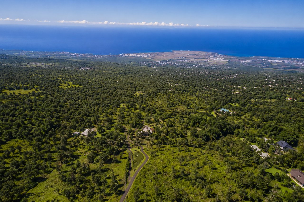
The first thing to understand about Kaloko is that the name applies to several distinct parts of North Kona. Kaloko-Honokōhau National Historical Park protects fishponds, a fishtrap, archaeological sites, and the lands of a former Hawaiian settlement along the shoreline. Kaloko Industrial Park is the commercial and light-industrial area near Queen Kaʻahumanu Highway. This page focuses on residential Kaloko and Kaloko Mauka, which extend up the slope of Hualālai above the Hina Lani and Kaloko corridors.
Even within residential Kaloko, the properties are not all alike. Lower neighborhoods contain conventional homes and residential-sized lots, while Kaloko Mauka includes agricultural acreage, forested parcels, farm dwellings, and custom homes. Elevation, rainfall, vegetation, views, roads, utilities, and usable land can change considerably as you travel uphill.
Lower portions of Kaloko include residential pockets such as Kaloko Houselots and Hualālai Plantations. These areas are closer to North Kona’s commercial corridor and generally feel more like conventional residential neighborhoods than the larger parcels farther mauka.
Kaloko Mauka opens into a mixture of residential, agricultural, and native forest land. County planning records describe many lower acreage parcels as approximately three to six acres, with larger parcels of roughly ten to twenty-five acres farther upslope. Some properties in the upper subdivision reach elevations above 4,000 feet.
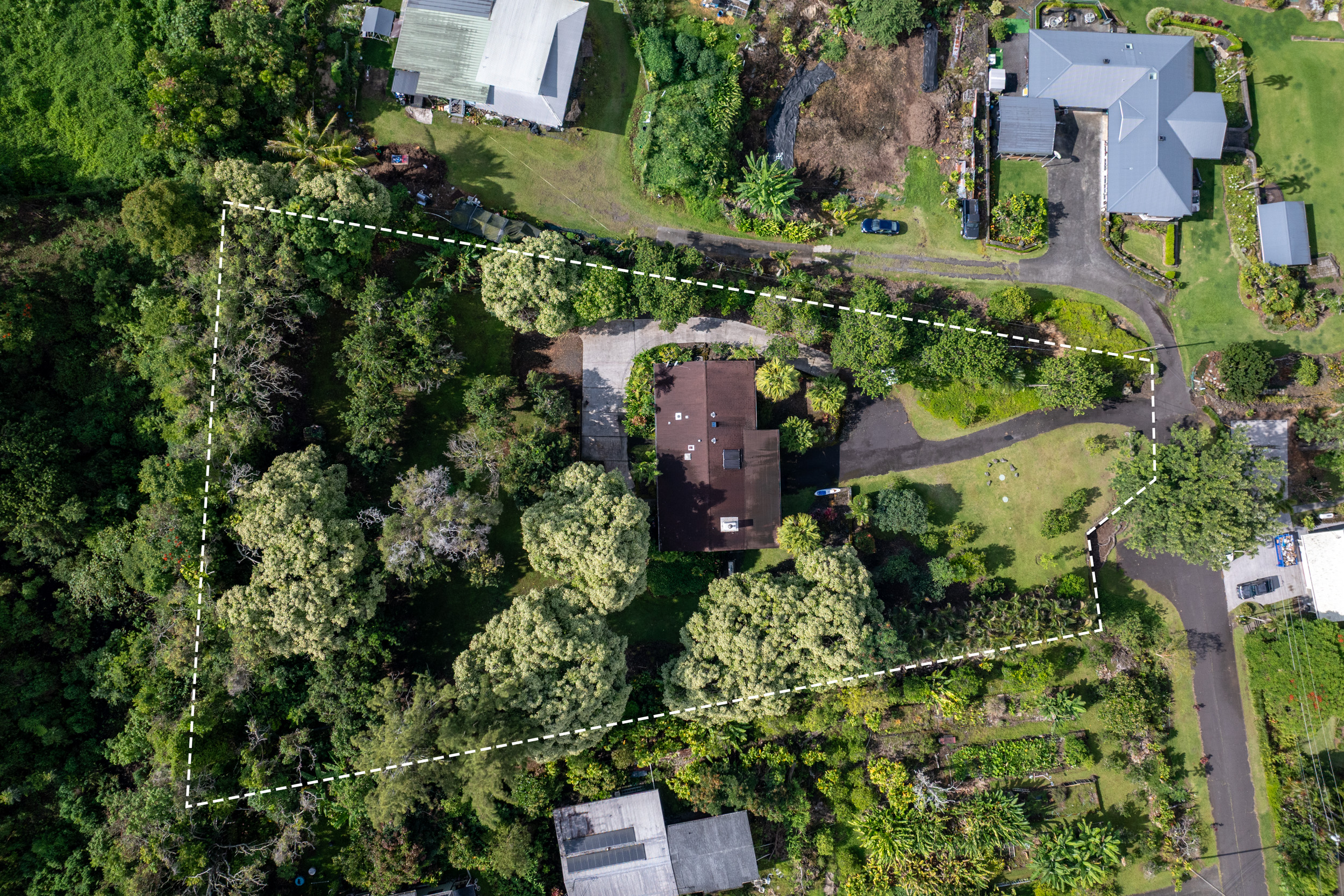
Those figures describe broad patterns rather than rules. A Kaloko address does not establish the parcel’s elevation, acreage, zoning, road quality, water service, or building potential. Buyers should use the property’s TMK, survey, title documents, and county records to identify exactly what is being offered.
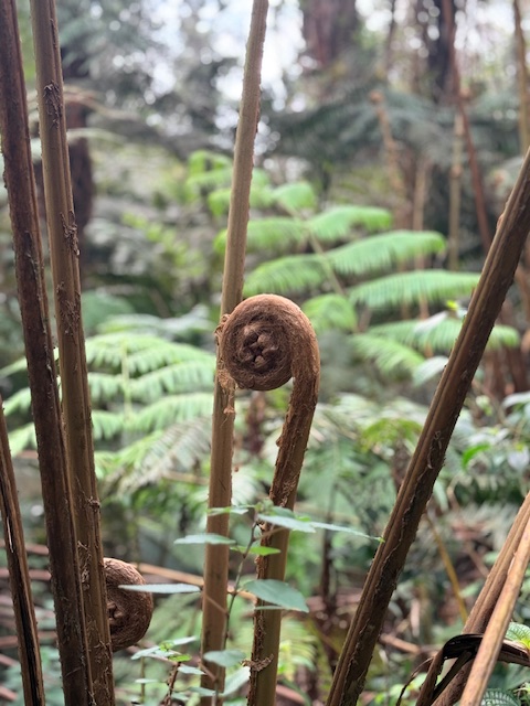
The upper slopes can be heavily forested with ʻōhiʻa and other vegetation. Some parcels include substantial areas maintained as native forest or subject to forest-management commitments. A large parcel may therefore offer privacy and open space without providing the same amount of land that can reasonably be cleared, fenced, farmed, or developed.
Kaloko real estate includes existing homes, vacant land, agricultural acreage, and properties developed gradually over time. This creates a market in which two similarly sized parcels can have very different values.
Important differences include elevation, ocean-view orientation, road access, available utilities, water service, driveway construction, permitted improvements, vegetation, slope, lava and soil conditions, and how much of the parcel is practical to use. A vacant parcel with a nearby utility line is not equivalent to a parcel with documented water service, installed power, approved access, and a permitted building site.
Upper forested acreage may provide privacy and cooler conditions, while lower properties can offer easier access to shopping, services, and Kailua-Kona. Neither is automatically more valuable; the better choice depends on how the buyer intends to use the property and which improvements are already in place.
Because Kaloko inventory is limited and properties vary widely, broad price-per-acre comparisons can be misleading. Compare recent sales that match the subject property’s elevation, access, utilities, zoning, improvements, and usable land. See the August 2026 Kona real estate market update for wider market context, and review our guide to considering acreage in Kaloko before evaluating a particular parcel.
Kaloko’s location can provide access to the airport, Costco, Kaloko Industrial Park, and other North Kona services while still offering an upcountry setting. Actual driving time depends heavily on where the property sits, the road used, traffic, and conditions on any private or shared access.
There is no concentrated shopping or restaurant district in upper Kaloko Mauka, so everyday errands generally require driving downhill. Buyers who want walkable dining, beaches, or resort amenities may prefer Kailua-Kona or Keauhou.
Climate changes with elevation. Higher properties can be cooler, wetter, cloudier, and more heavily vegetated than the coast. Conditions also vary with exposure and season, so buyers should not assume every Kaloko home has cool nights, daily cloud cover, or no need for air conditioning. Inspect ventilation, moisture control, roof and gutter condition, drainage, exterior materials, and vegetation around the home.
Kaloko may appeal to buyers seeking privacy, acreage, an upcountry climate, space for gardens or agricultural use, or a forested setting within North Kona. Lower residential pockets may work for buyers who want a more conventional home while remaining near the Kaloko and Hina Lani corridors.
The area requires careful property-level research. Acreage, private or shared access, vegetation, utilities, water, wastewater, and agricultural land-use rules create responsibilities that may not exist with a coastal condominium or finished subdivision home. Buyers comparing other elevated Kona communities may also want to explore Hōlualoa real estate.
This page focuses on residential Kaloko and Kaloko Mauka on the Hualālai slope. It does not treat Kaloko Industrial Park or the coastal lands inside Kaloko-Honokōhau National Historical Park as residential neighborhoods.
No. Kaloko and Kalaoa are adjoining North Kona place names, and both may appear in broad mailing or real-estate searches, but they are not interchangeable. The 2020 Census recognizes Kaloko as a separate census-designated place. Use the property’s map location and TMK rather than relying only on the mailing city or ZIP code.
Residential Kaloko covers a substantial section of the Hualālai slope. Lower neighborhoods sit closer to the commercial corridor, while some Kaloko Mauka properties reach elevations above 4,000 feet. Confirm the elevation of the individual parcel rather than applying one fixed range to the entire area.
County water serves portions of Kaloko and Kaloko Mauka. Other properties may use catchment or another documented arrangement. Confirm the active source, meter status, capacity, pressure, agreements, and availability of any future connection for the specific parcel.
Some agricultural parcels may accommodate horses or other livestock, but the answer is property specific. Confirm county zoning, lot size, available usable land, water, fencing, animal-waste requirements, subdivision conditions, and any private covenants before relying on that use.
The distance varies substantially between lower residential Kaloko and the highest portions of Kaloko Mauka. Review the actual route from each property during normal traffic rather than relying on a neighborhood-wide driving-time estimate.
Kaloko properties can differ dramatically in elevation, access, water, utilities, forest cover, usable acreage, and building potential. Mark and Brenda can help you compare current homes and land and identify the records and property systems that need closer review. Call (808) 854-5432 to discuss Kaloko real estate.
40,805 people live in Kaloko, where the median age is 43.2 and the average individual income is $45,490. Data provided by the U.S. Census Bureau.
Total Population
Median Age
Population Density Population Density This is the number of people per square mile in a neighborhood.
Average individual Income
There's plenty to do around Kaloko, including shopping, dining, nightlife, parks, and more. Data provided by Walk Score and Yelp.
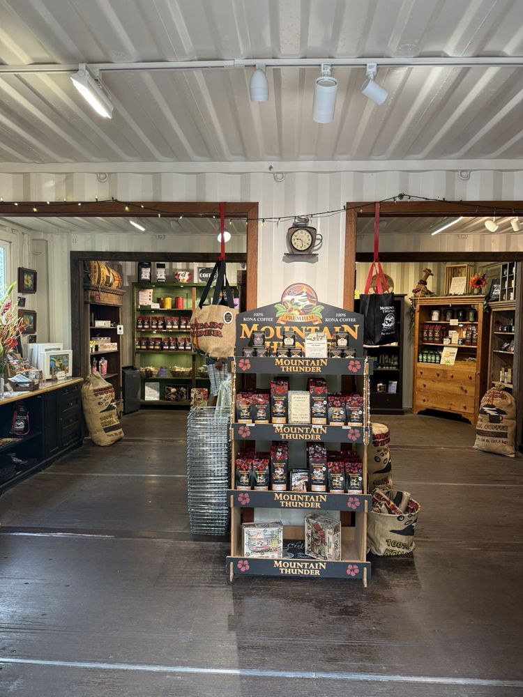
Explore popular things to do in the area, including Mountain Thunder Coffee Plantation, I'O Processing Company, and Lyman Kona Coffee Farms.
| Name | Category | Distance | Reviews |
Ratings by
Yelp
|
|---|---|---|---|---|
| Dining · $$ | 3.61 miles | 490 reviews | 4.5/5 stars | |
| Dining | 4.14 miles | 0 reviews | 0/5 stars | |
| Dining | 4.33 miles | 5 reviews | 4.8/5 stars | |
| Dining · $ | 4.77 miles | 61 reviews | 4/5 stars | |
| Dining · $ | 4.82 miles | 45 reviews | 4.2/5 stars | |
| Active | 3.1 miles | 7 reviews | 5/5 stars | |
| Active | 4.07 miles | 77 reviews | 3.7/5 stars | |
| Active | 4.49 miles | 6 reviews | 3.5/5 stars | |
| Active | 4.58 miles | 5 reviews | 5/5 stars | |
| Active | 4.75 miles | 0 reviews | 0/5 stars | |
| Active | 4.83 miles | 0 reviews | 0/5 stars | |
| Active | 4.92 miles | 0 reviews | 0/5 stars | |
| Beauty | 3.89 miles | 14 reviews | 3.9/5 stars | |
| Beauty | 4.44 miles | 0 reviews | 0/5 stars | |
| Beauty | 4.55 miles | 3 reviews | 5/5 stars | |
|
|
||||
|
|
||||
|
|
||||
|
|
||||
|
|
||||
|
|
Kaloko has 14,149 households, with an average household size of 2.86. Data provided by the U.S. Census Bureau. Here’s what the people living in Kaloko do for work — and how long it takes them to get there. Data provided by the U.S. Census Bureau. 40,805 people call Kaloko home. The population density is 168 and the largest age group is Data provided by the U.S. Census Bureau.
Total Population
Population Density Population Density This is the number of people per square mile in a neighborhood.
Median Age
Men vs Women
Population by Age Group
0-9 Years
10-17 Years
18-24 Years
25-64 Years
65-74 Years
75+ Years
Education Level
Total Households
Average Household Size
Average individual Income
Households with Children
With Children:
Without Children:
Marital Status
Blue vs White Collar Workers
Blue Collar:
White Collar: